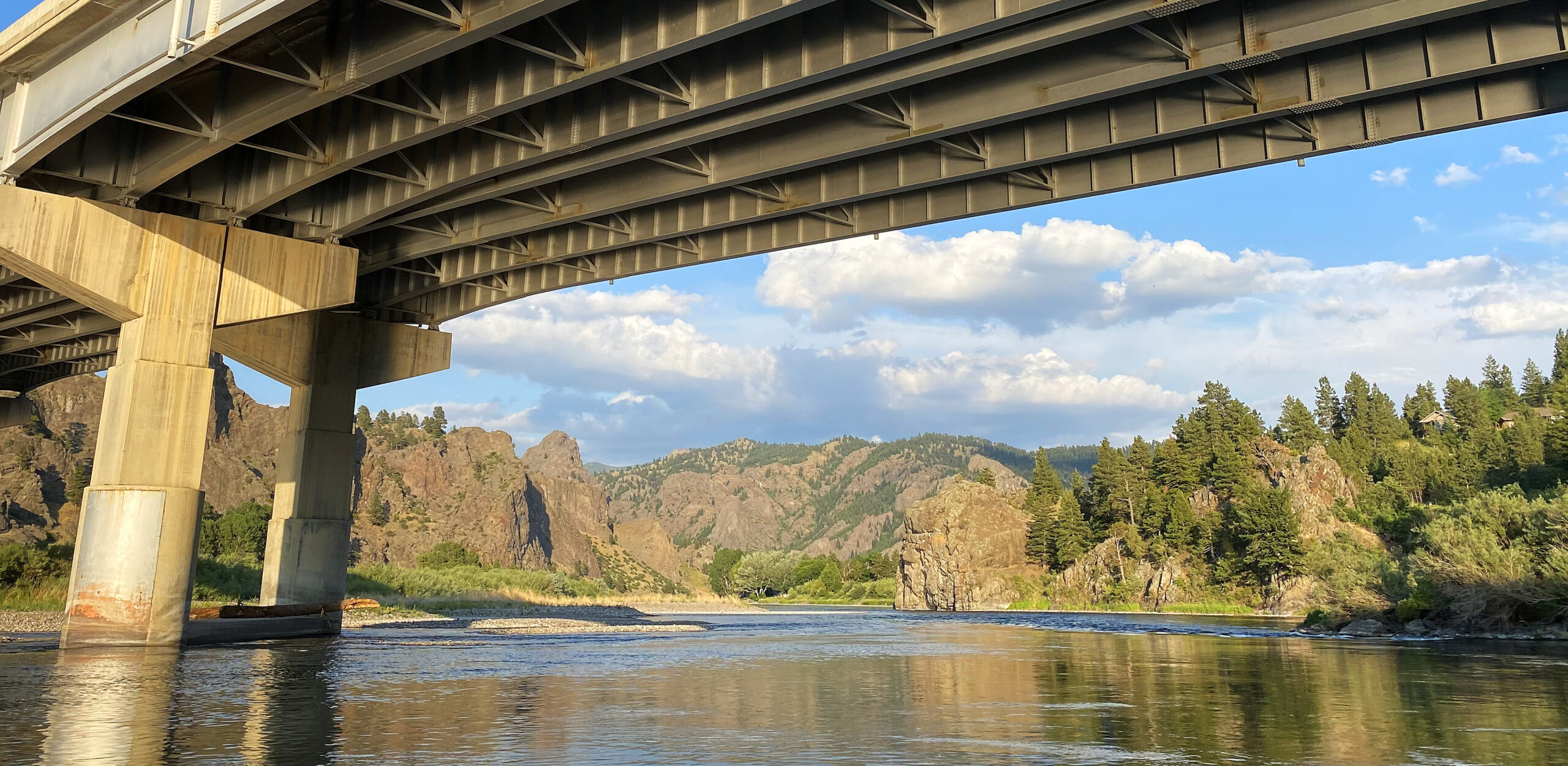
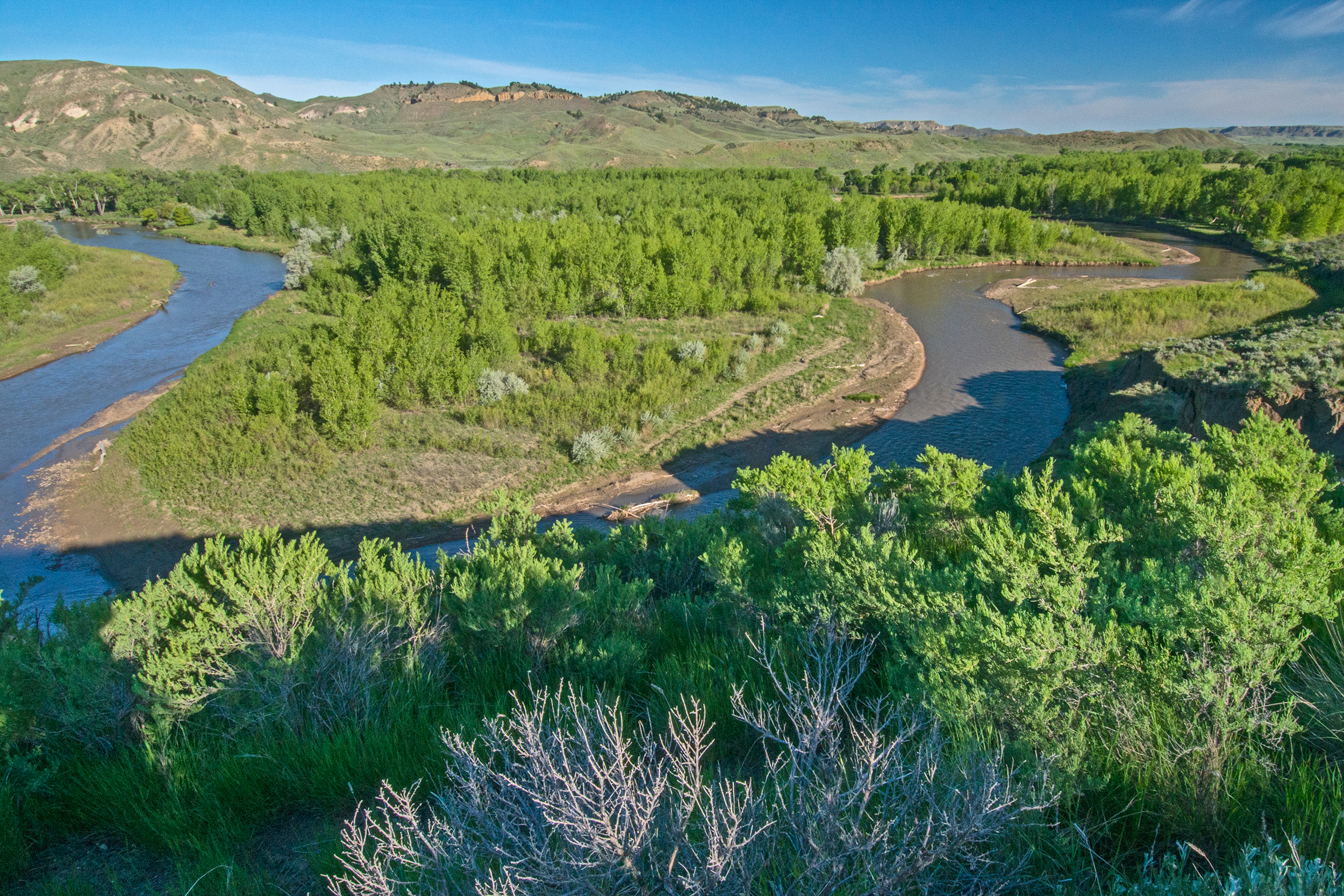
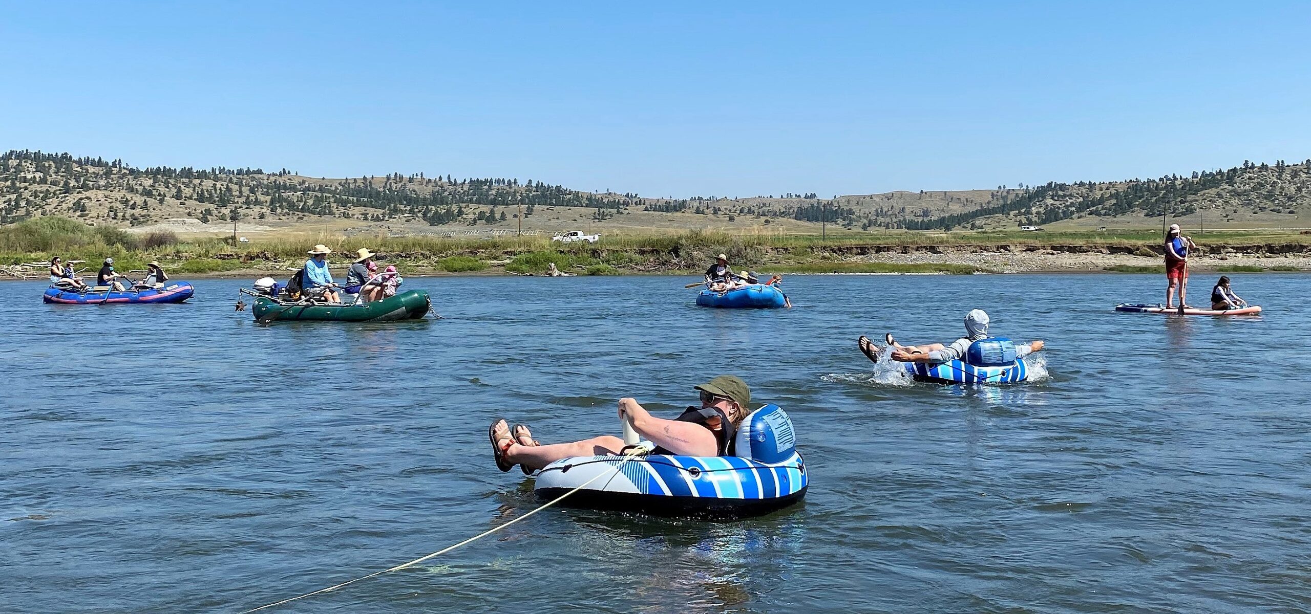
Following the completion of an environmental assessment, Bureau of Land Management officials have decided to open a half-mile route into the Upper Missouri River Breaks National Monument. The short road will provide access to another 51 miles of routes spread across more than 35,000 acres of federal land south of Havre and north of the Missouri River. Access to this region has long been a goal, but it wasn’t possible with this scenario until Montana Fish, Wildlife & Parks and the Square Butte Grazing Association reached a Public Land Access Agreement last year. That deal opened a section of road that made the BLM’s route a way for vehicles to reach the area. Bullwhacker Road is the main way into the federal land, but it goes through private land. The Blaine County attorney ruled the route was public in 2007. That decision was overturned by a district court judge on appeal. So since then, access via the route has only been provided with landowner permission. To learn more, check out my story at https://billingsgazette.com/outdoors/blm-bullwhacker-road-upper-missouri-river-breaks-national-monument/article_e2f4b0a4-07df-11ef-9427-7fd037010978.html.
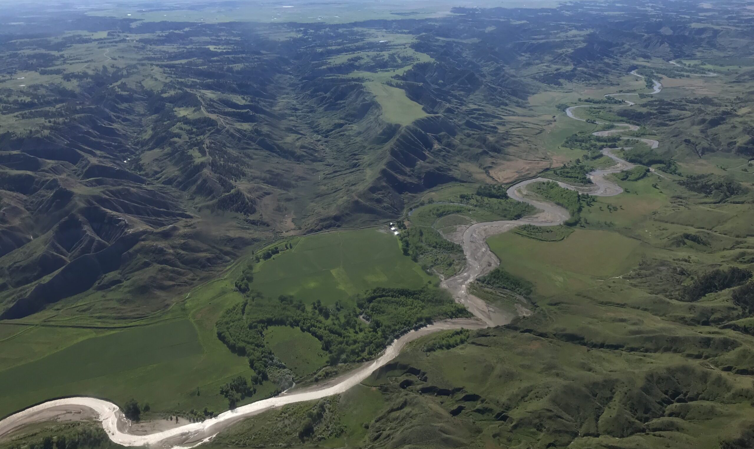
Brett French reports: BLM authorizes access route into Missouri Breaks
nest_clock_farsight_analog Latest Montana Hunting & Fishing Articles
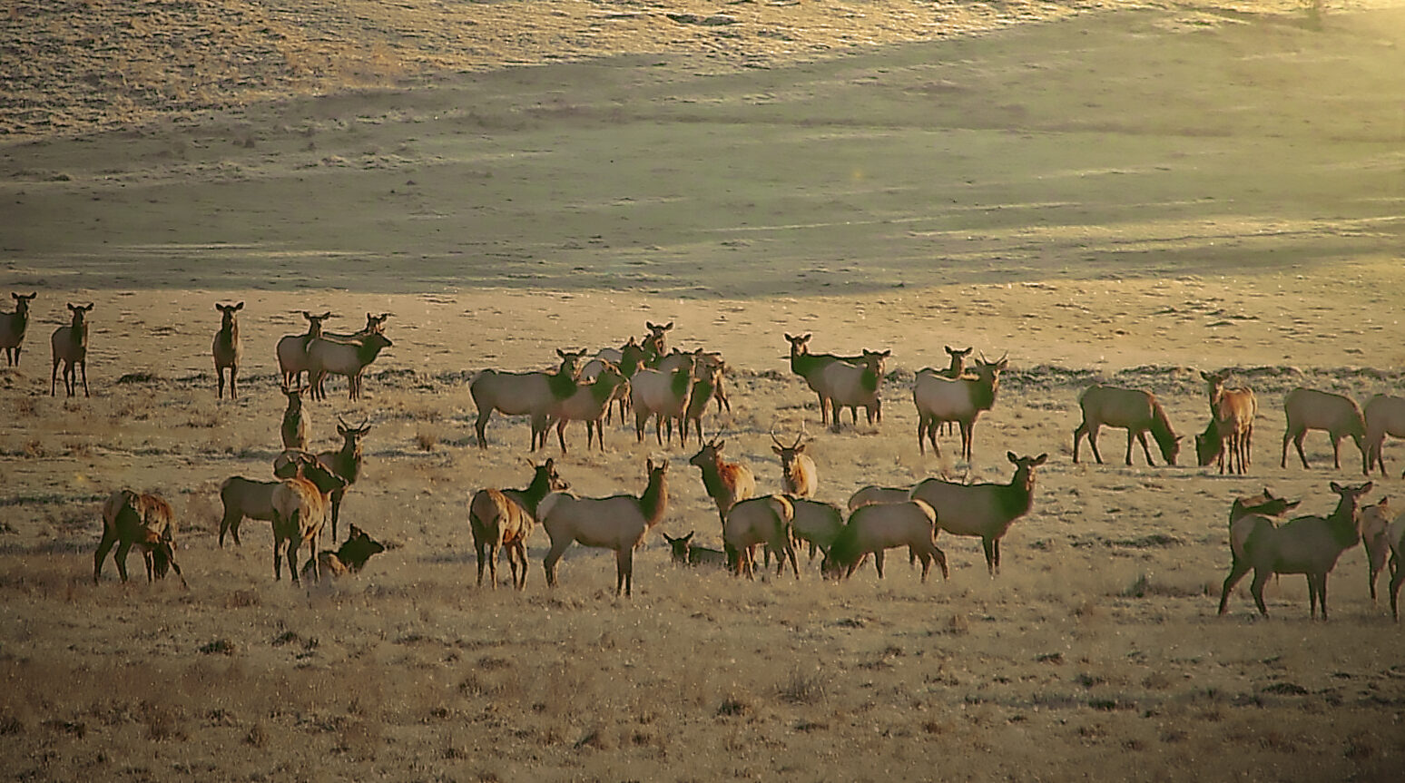
FWP News: Big game hunting season wrapped up Dec. 1 with harvest totals up slightly in west-central Montana
The 2024 big game season wrapped up in Region 2 with higher elk and deer harvests in west-central Montana. See how the numbers stacked up.
The Beginning and the End of a Mule Deer’s Struggle
Don Wilkins captured the aftermath of a chase that didn’t go a muley buck’s way.
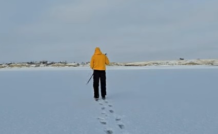
North Central Montana Ice Thickness
Here’s the latest ice thickness report in north-central Montana.

FWP News: Big game hunting season wrapped up Dec. 1 with harvest totals up slightly in west-central Montana
The 2024 big game season wrapped up in Region 2 with higher elk and deer harvests in west-central Montana. See how the numbers stacked up.
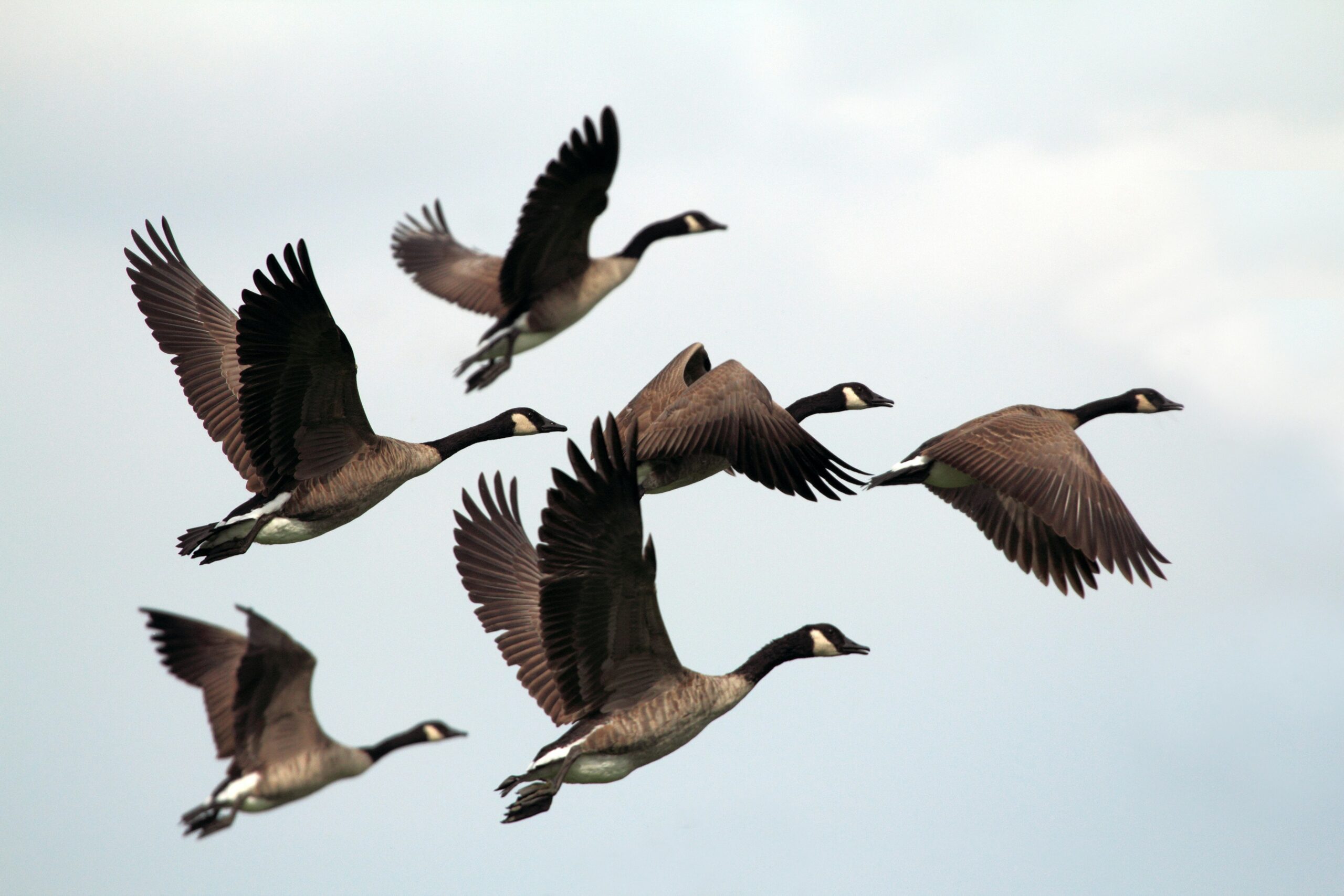
Montana Goose Hunting: Strategies for a Bountiful Season
Montana is a paradise for waterfowl hunting enthusiasts. The state’s untouched landscapes provide ideal habitats for Canada geese, attracting hunters […]
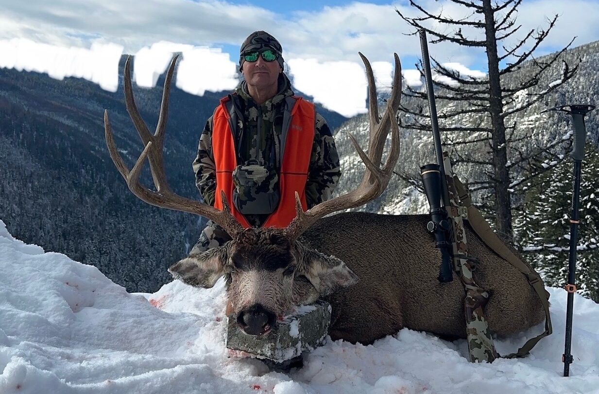
Public Land, Private Victory!
Dan Greer’s 180-class muley from public land proves that hard work still leads to success!
U.S Fish and Wildlife Urges Hunters To Go Lead-Free
The U.S. Fish and Wildlife Service made hunting greener this fall by offering cool perks for hunters who swapped lead ammo for eco-friendly alternatives at seven National Wildlife Refuges.
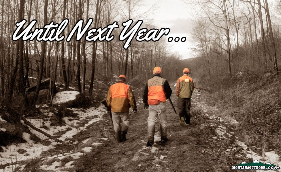
Game on and Game over
Well, folks, here we are—the finale of Montana’s general rifle season. The sun is setting not just on the horizon, […]
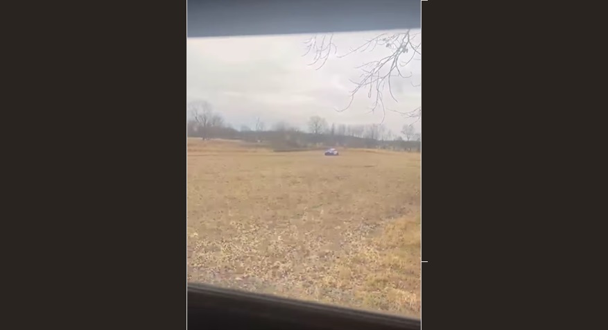
When the Chase is Real…
Jay Burger, an avid hunter who also happens to be a professional bass fisherman, thought opening day of firearm season […]
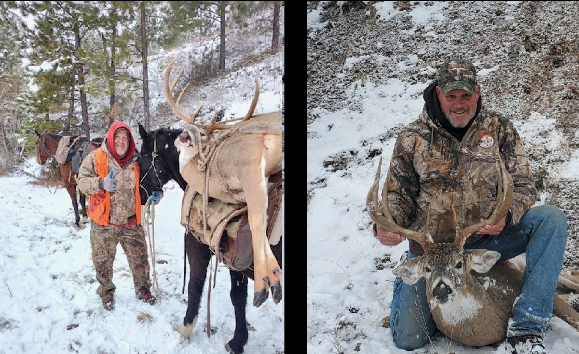
Real Nice Deer taken in Western Montana
Joe Lipski and Donnie Larson of Missoula shot a couple of great looking bucks this month. Congratulations!
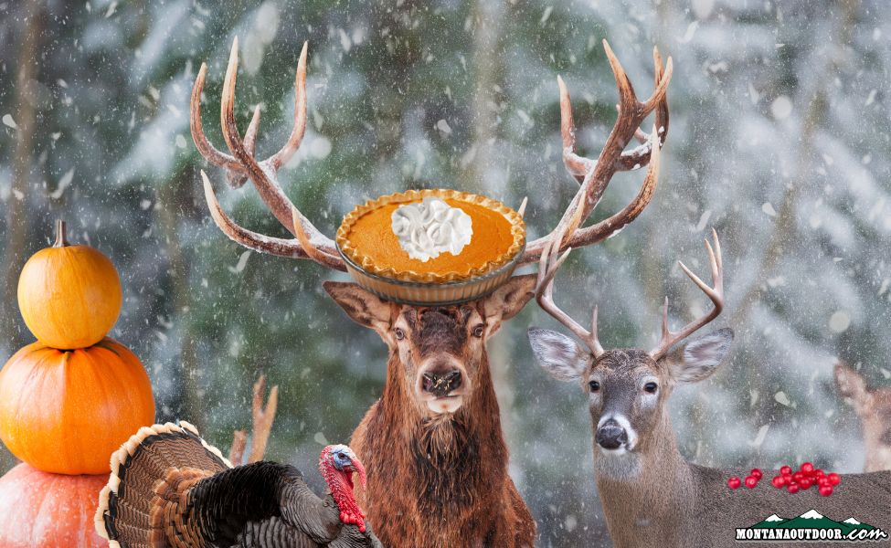
Turkeys, Trophies, and Thanks
Ah, Thanksgiving—the one time of year we gather around the table to celebrate gratitude, family and enough food to feed […]
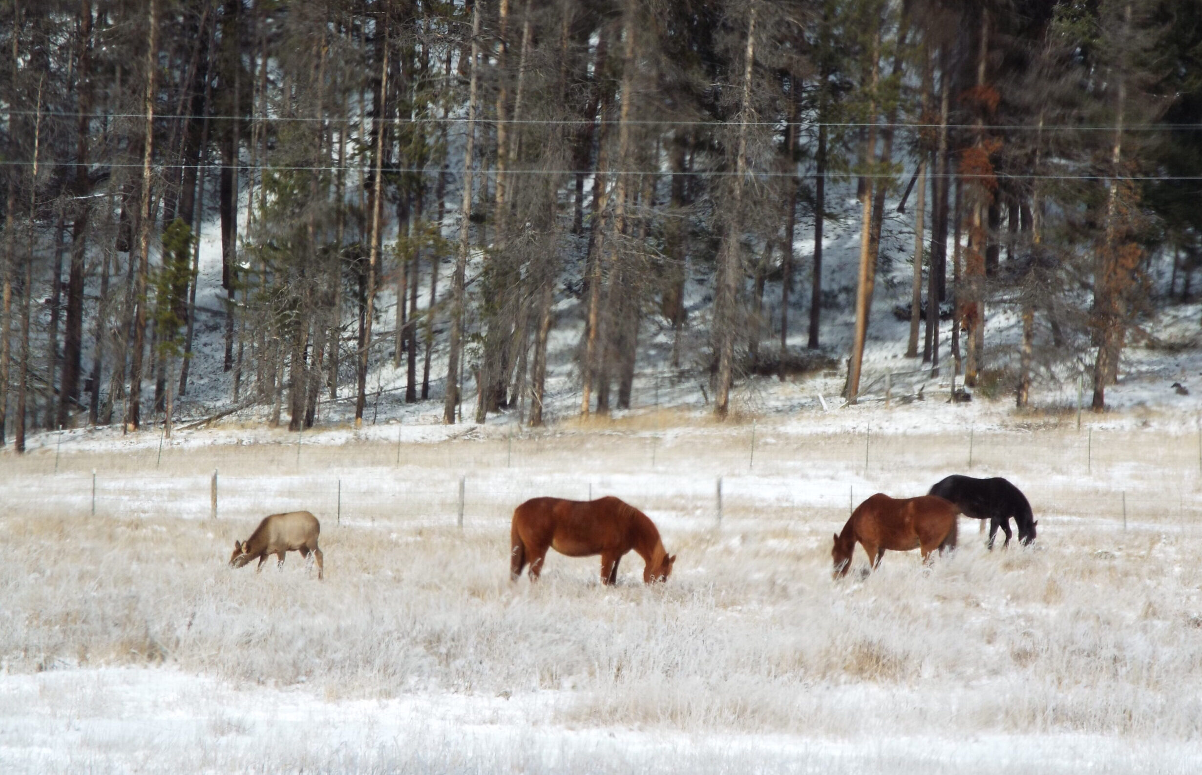
An Elk That Horsed Around for a While…
If you were an elk calf, fairly fresh to the world, and suddenly, bam—your herd is gone. You’re standing there […]
FWP News: R4–Hunter numbers and harvest success mixed in north-central Montana during fourth week of hunting season
GREAT FALLS – Cold and snowy weather arrived in north-central Montana over the past week, and although the wintery weather has […]
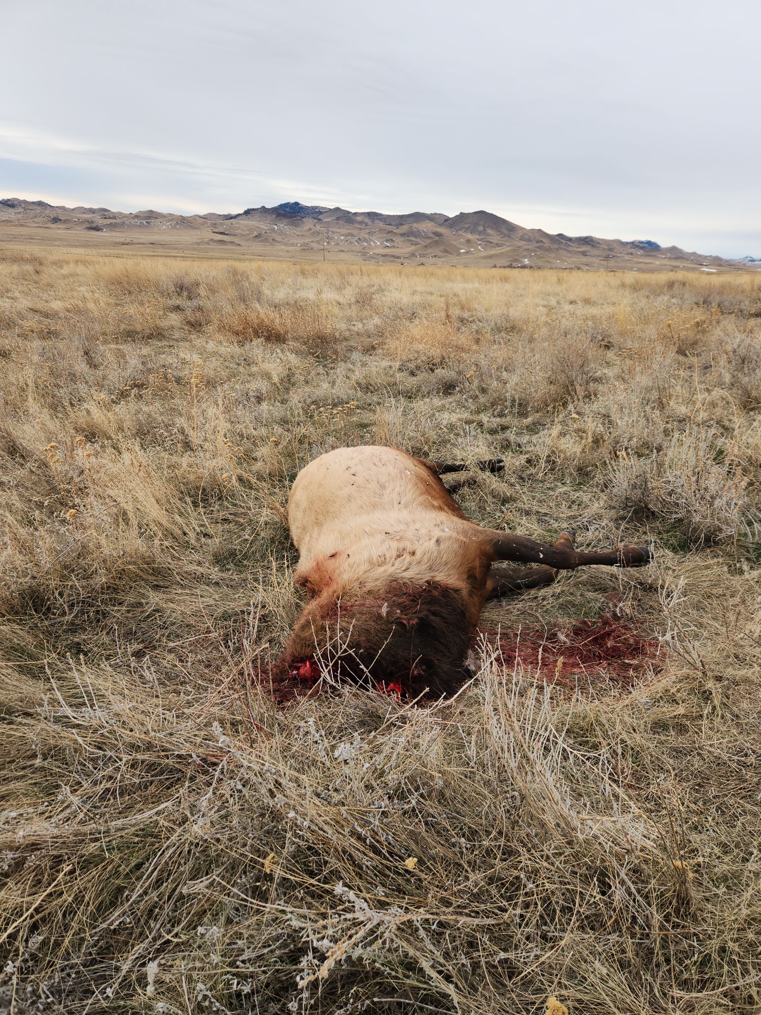
Bull elk and whitetail buck shot and left in south Blaine County, wardens seeking information
Montana Fish, Wildlife & Parks game wardens are seeking any information regarding a bull elk and whitetail buck that were […]
MT Wildlife

The Beginning and the End of a Mule Deer’s Struggle
Don Wilkins captured the aftermath of a chase that didn’t go a muley buck’s way.
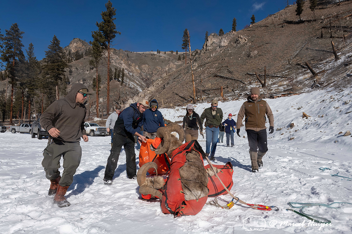
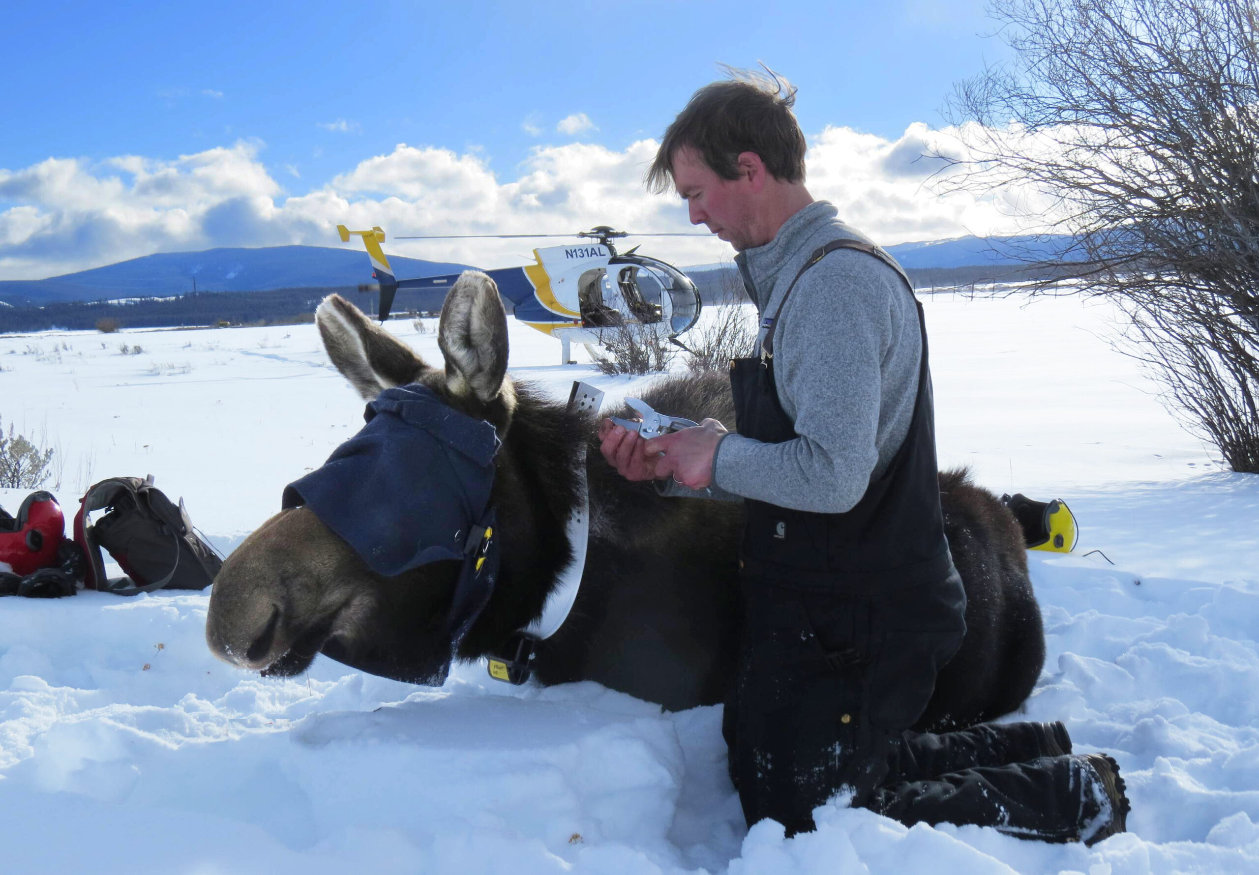
Alpine Enigmas: UM Researchers Study Bighorn Sheep, Mountain Goats
The best way to catch a bighorn sheep is with a helicopter. You also need favorable conditions, good planning and a little bit of luck.
event Outdoor Events
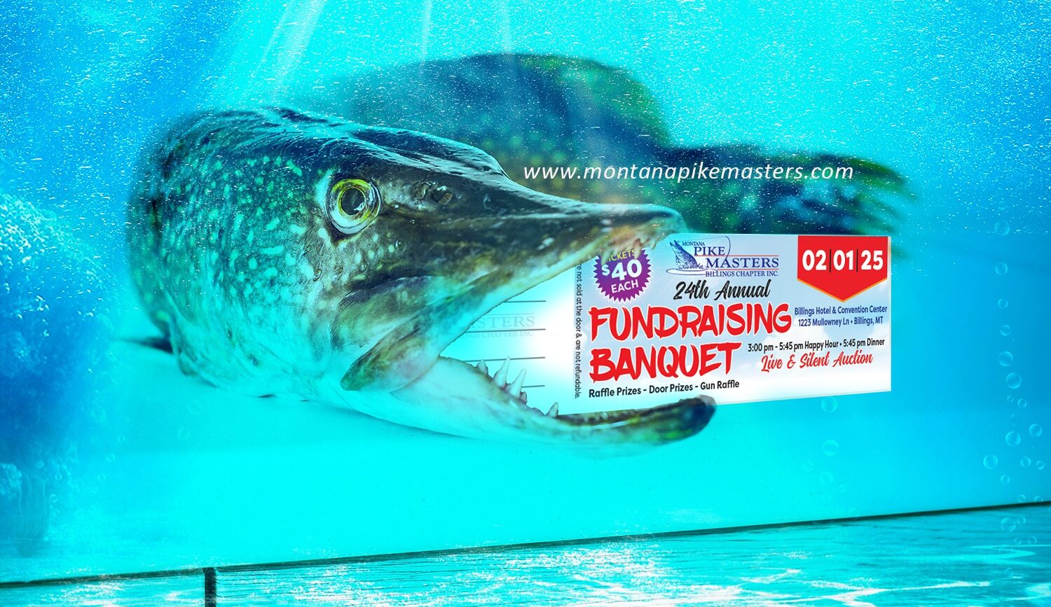
Get Hooked on a Good Time: Montana PikeMasters Annual Fundraising Banquet
Mark your calendars! On Saturday, February 1, 2025, the Montana PikeMasters are rolling out the red carpet (well, the plaid […]

The Wild Ride of U.S. Elections
The U.S. has had its share of election chaos, but 1800 really set the bar (or mud pit?) for political […]
Montana Fishing
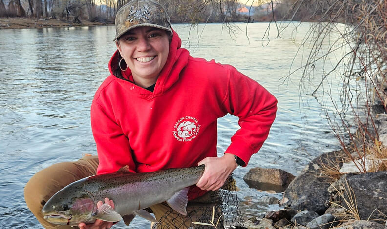
Upper Salmon River Steelhead Fishing Report by IDFG 11.26.24
This is the Upper Salmon River steelhead fishing update for the week of November 18 through November 24, 2024. Inconsistent […]
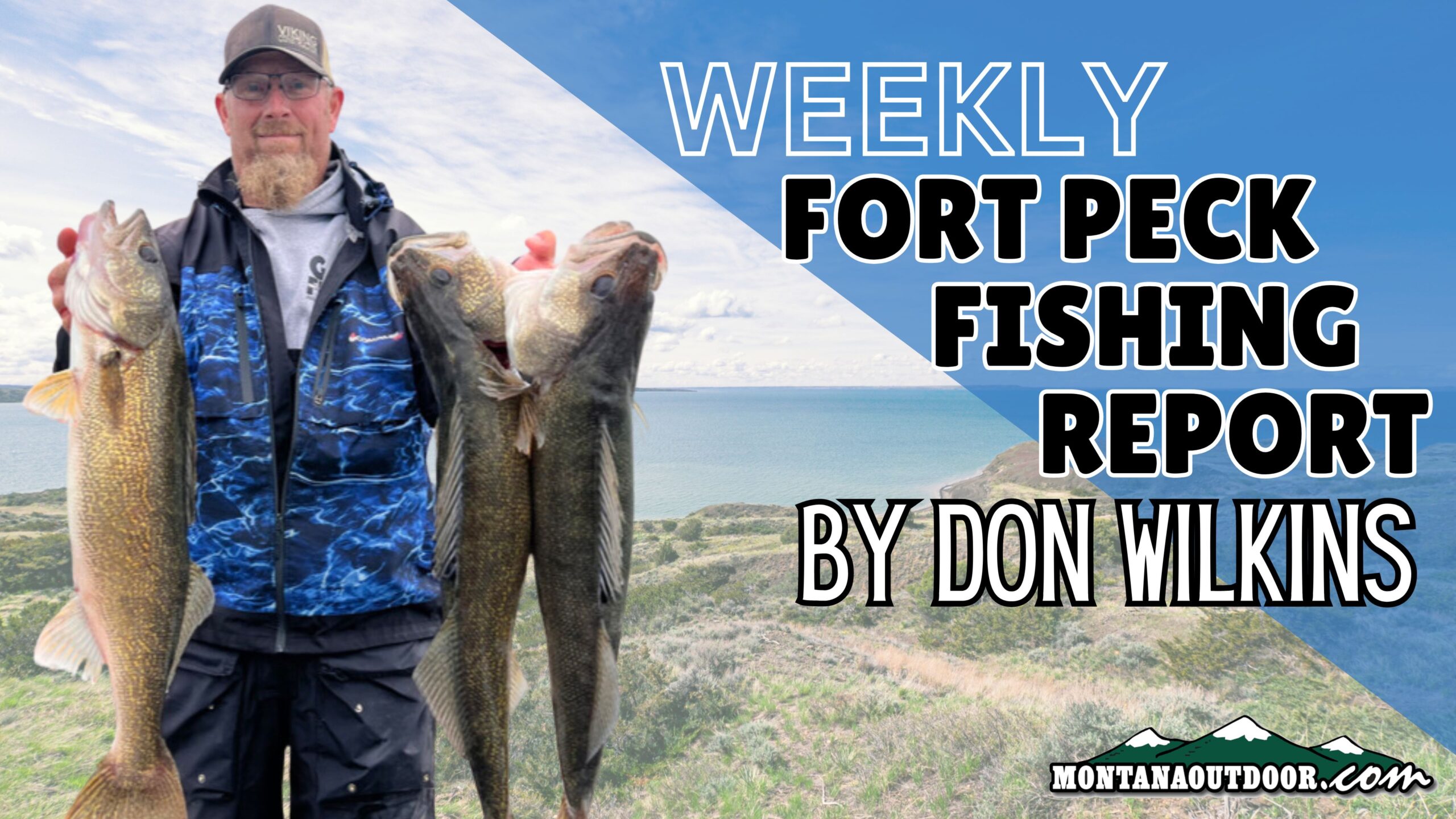
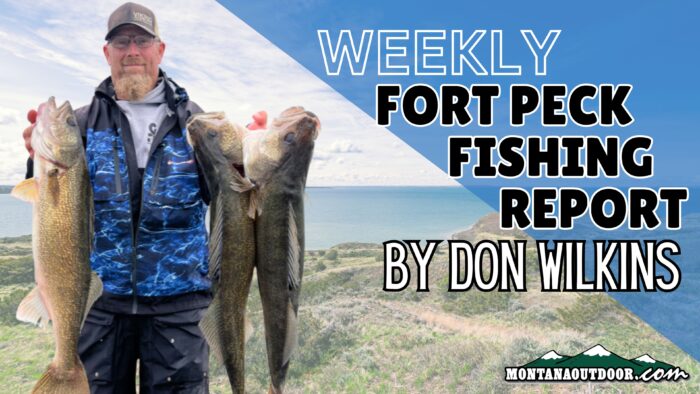
Weekly Fort Peck Fishing Report by Don Wilkins 11.21.24
Lake trout bite has picked up the past week as more fish are moving into a post-spawn stage and are […]
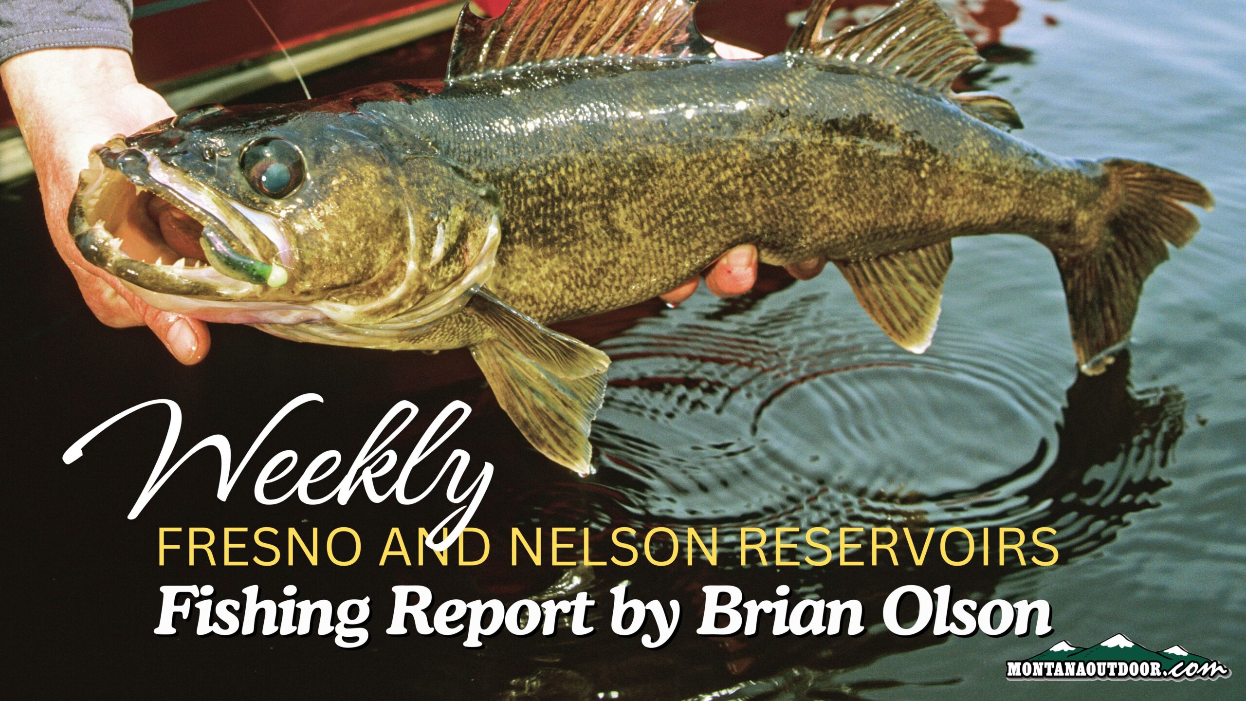
Fresno and Nelson Reservoirs Fishing Report by Brian Olson 11.21.24
Fresno is 18% full, no inflow & outflow is about 40 cfs. Nelson is 73% full with no in or […]
Upper Salmon River Steelhead Update by IDFG 11.19.24
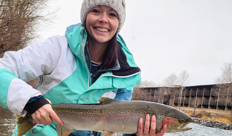
This is the Upper Salmon River steelhead fishing update for the week of November 11 through November 17, 2024. Steelhead […]
Hook, Line, and Submarine
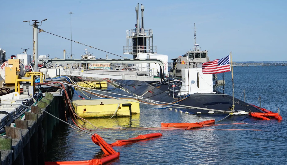
According to an article via the Daily Mail, a Norwegian fishing boat named ‘Island Boy’ was out for a regular […]

Weekly Fort Peck Fishing Report by Don Wilkins 11.14.24
Pike-northerns are still very shallow in and near weed beds,we are mainly targeting areas with large weed beds that come […]
It was Walleye Wednesday Again on Nelson Reservoir
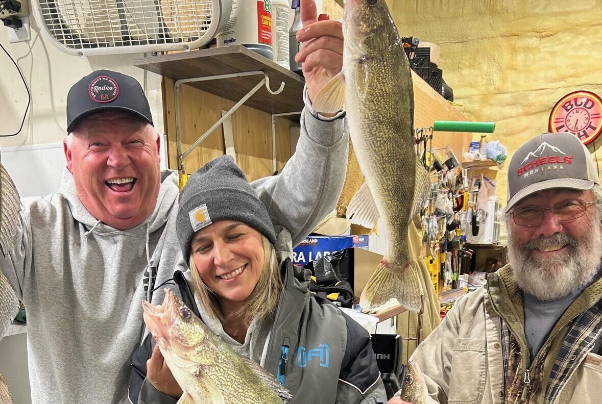
The Captain and crew—Don Jamison, Ken Ault, and Amy McComas—had a solid day fishing Nelson Reservoir on Wednesday! While it […]
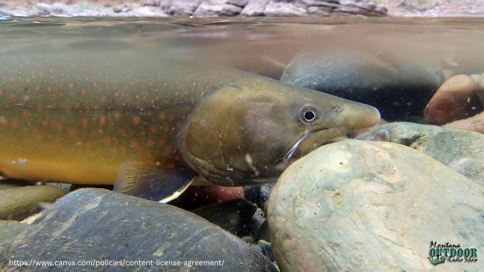
FWP News: Commission passes regulations aimed at bull trout protection
HELENA – The Montana Fish and Wildlife Commission approved additional protections for bull trout in Hungry Horse Reservoir and the South […]

Fresno and Nelson Reservoirs Fishing Report by Brian Olson 11.14.24
Fresno is 19% full with no inflow & outflow about 40 cfs. Nelson is 73% full with no in or […]

Get Hooked on a Good Time: Montana PikeMasters Annual Fundraising Banquet
Mark your calendars! On Saturday, February 1, 2025, the Montana PikeMasters are rolling out the red carpet (well, the plaid […]
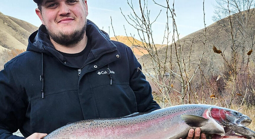
Upper Salmon River Fall 2024 Steelhead Fishing Update 11.12.24
This is the Upper Salmon River steelhead fishing update for the week of November 04 through November 10, 2024. Steelhead […]

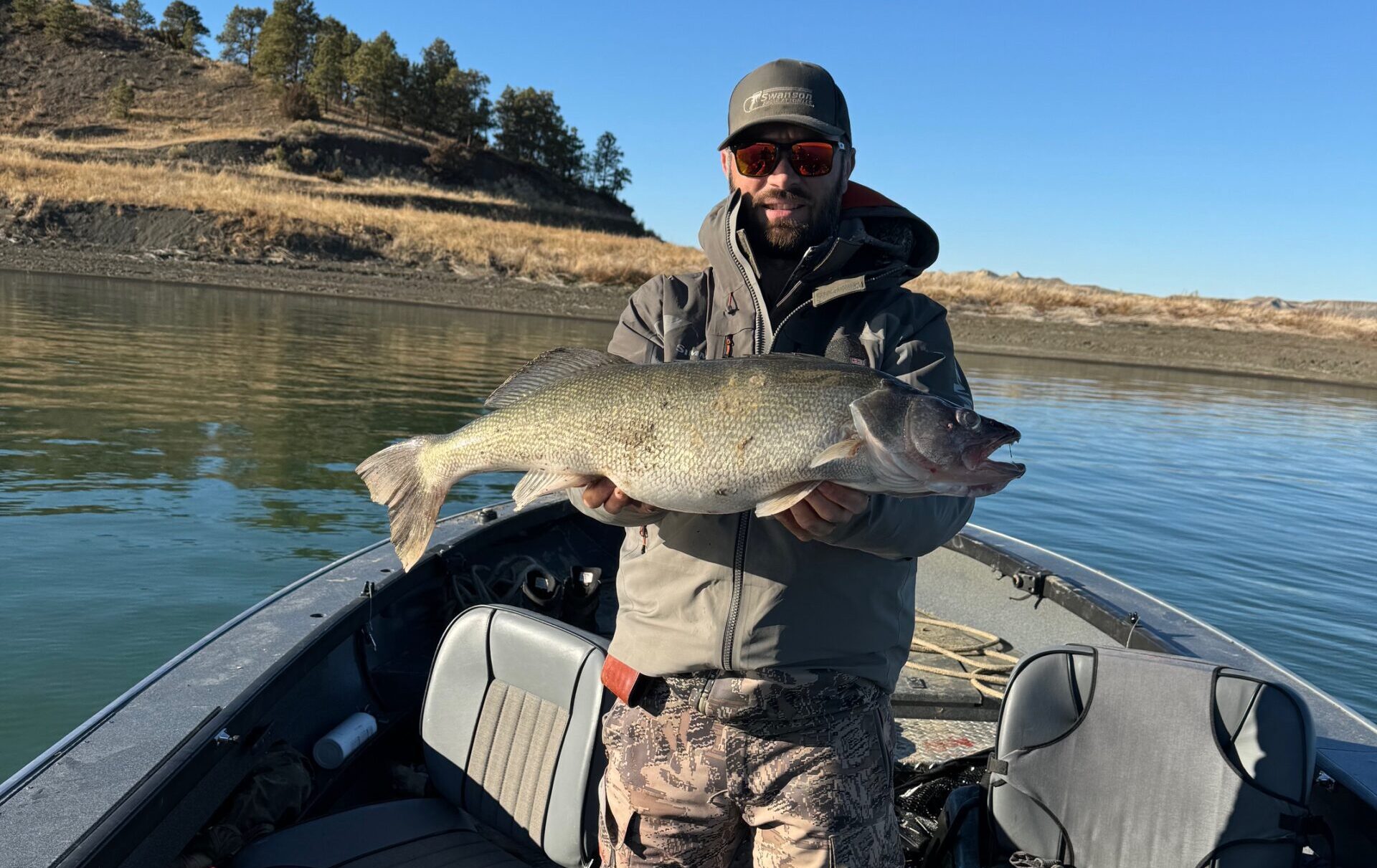
Mule Deer Hunt with a Fishing Surprise
Last week, William Swanson from Stevensville joined his dad Jim on a Fort Peck adventure. They set out for mule […]
Montana Tourney Trail
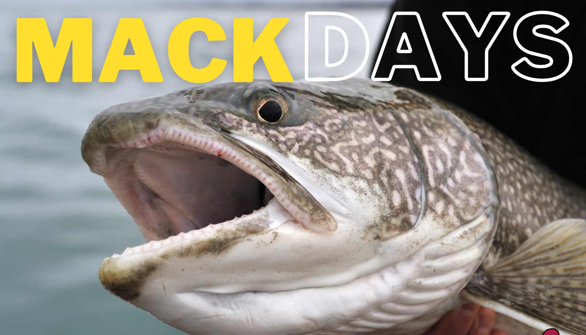
2024 Fall Mack Days | Final Results
The 2024 Fall Mack Days concluded on Sunday November 3rd with a total of 18,414 lake trout entries, 151 anglers […]

2024 Fall Mack Days | Week 7 Results
UP TO $200,000 in Cash and Prizes sponsored by the Confederated Salish and Kootenai Tribes will be awarded at the […]
headphones Montana Outdoor Radio Show
Sponsors:
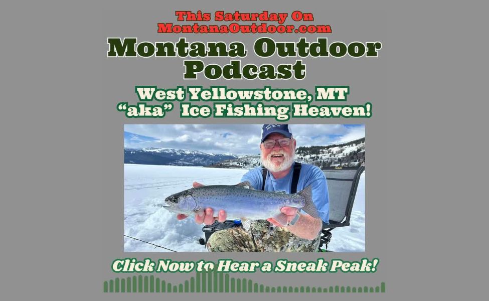
Exclusive Sneak Peek: How to Reel in Trout and Adventure in West Yellowstone on Montana Outdoor Podcast
This week on the Montana Outdoor Podcast, Downrigger Dale chats with fishing guide Garrett Ostler of Madison Adventures in West […]
MT Outdoor Podcast: The Trapping Debate: Heroes, Villains, or Something in Between?
Learn the REAL Facts About Trapping in Montana! This week on the Montana Outdoor Podcast your host Downrigger Dale talks […]
Montana FWP
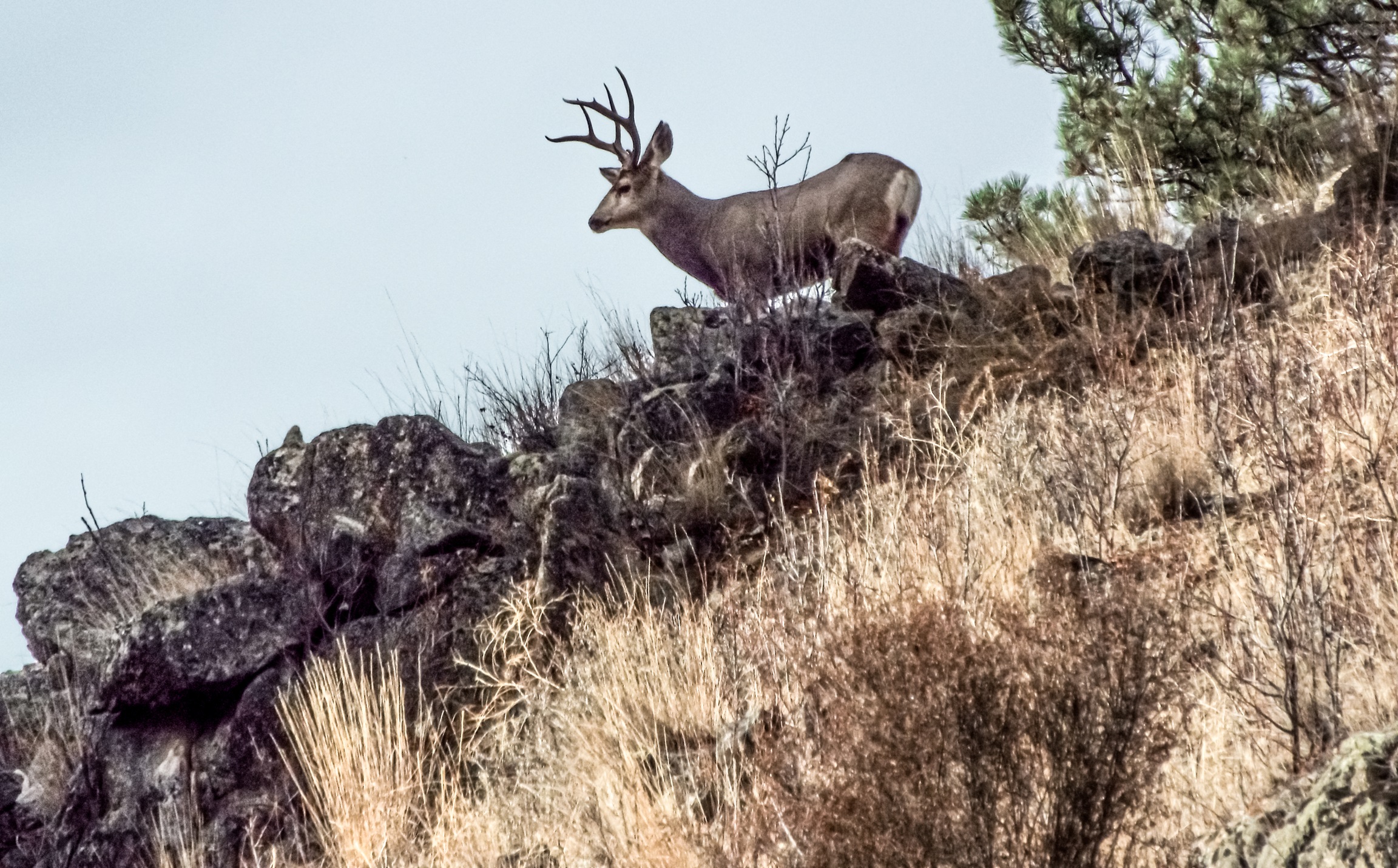
FWP News: Hunting season wraps up with increased success in northwest Montana
Hunting season wrapped up in Region 1 with a successful harvest increase in northwest Montana! Want to know the numbers and what’s next? Check it out here.

FWP News: Big game hunting season wrapped up Dec. 1 with harvest totals up slightly in west-central Montana
The 2024 big game season wrapped up in Region 2 with higher elk and deer harvests in west-central Montana. See how the numbers stacked up.
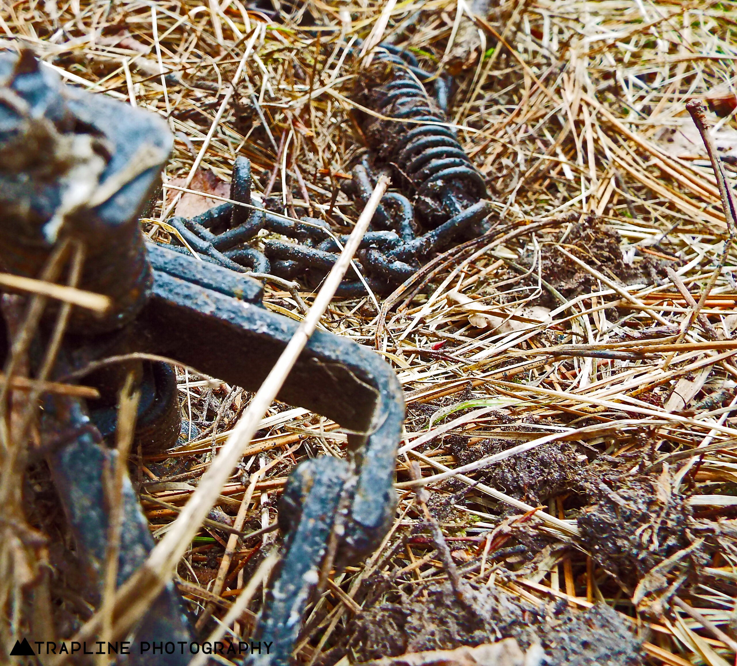
FWP News: Reminders as trapping season gets underway in much of the state
HELENA – Trapping season gets into full swing on Dec. 1 with the opening of bobcat, marten, and fisher seasons. Trapping […]
restaurant Wild Game Recipes

Elk & Cheese, Please!
Who says comfort food can’t be a little wild? This creamy elk mac and cheese is where it’s at! Packed […]

Cooking with Kokanee Quinn: Jerky So Good, You’ll Snack Your Way to Empty Bags
Have a wild game craving? Kokanee Quinn does, and she found a tasty go-to jerky marinade recipe that’s a sweet, […]
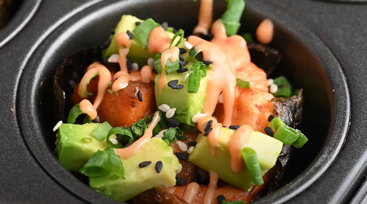
Spicy Salmon Rice Muffins
Use some of that Chinook salmon you reeled in this summer and spice it up with these salmon rice […]
