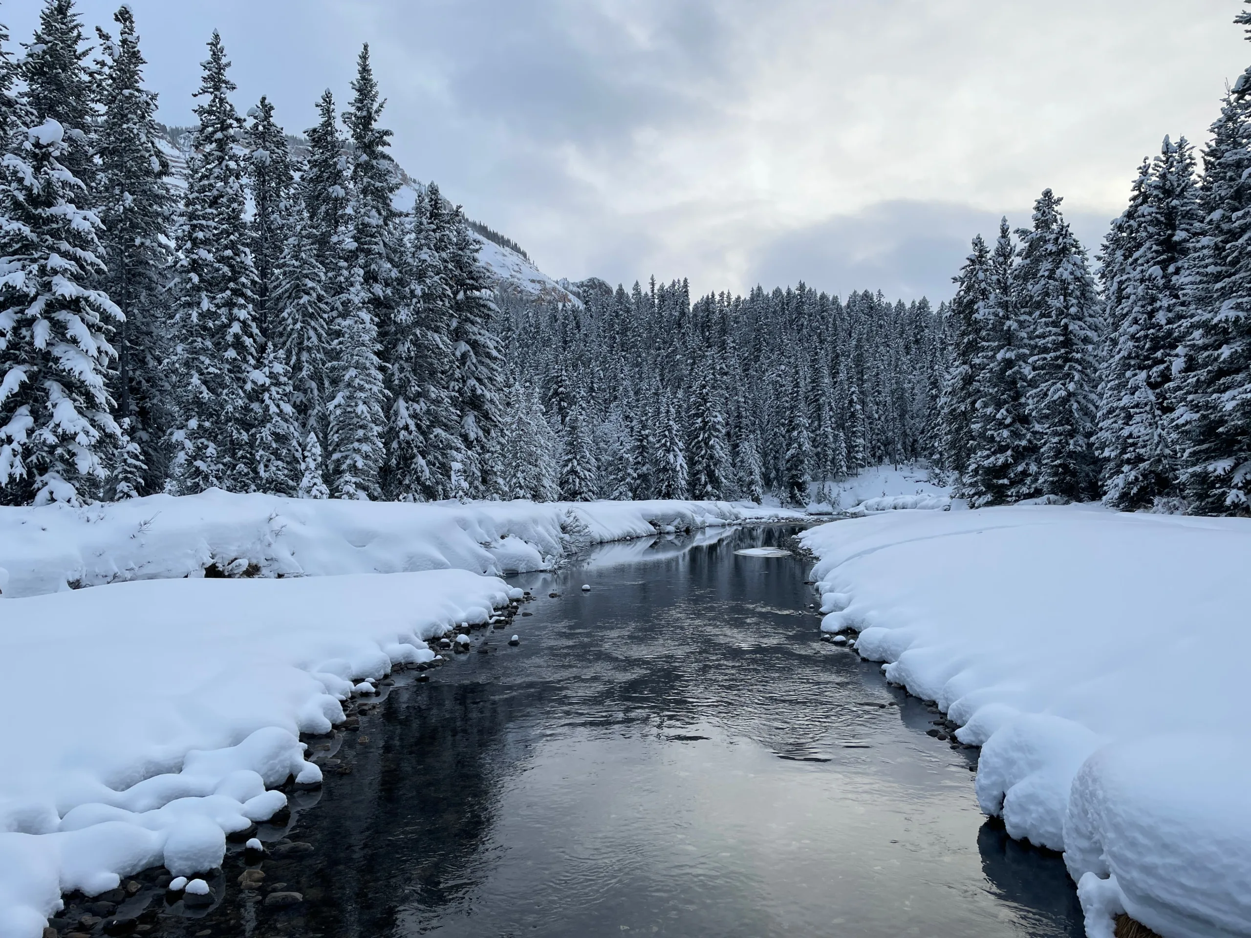
BOZEMAN, Mont., January 8, 2025 –Water year 2025 got off to a dry start in the mountains of Montana and northern Wyoming with minimal precipitation recorded across the region for the first half of October. Moisture arrived in mid-October, but abnormally warm temperatures meant it fell primarily as rain or a mix of rain and snow, even at upper elevations. For most basins, the first snow at all elevations occurred late October. November brought a mixture of snowstorms that benefitted the mountains of southwest and northwest Montana, while drier conditions were experienced elsewhere. “Dry conditions persisted for the first half of December throughout most of Montana until the tide began to turn just before the New Year with a true winter system bringing much needed snow to the region,” said Eric Larson, USDA Natural Resources Conservation Service (NRCS) Hydrologist.
The brunt of the winter storm arrived on December 26 and lasted through the end of the year, however a series of smaller storms continued through the first week in January. In general, precipitation totaled 2-5 inches through January 7 across the highest elevations in western Montana. “Snow depth increased by approximately 20-40 inches at those elevations, which nearly doubled the snowpack at most locations,” said Larson. Noisy Basin SNOTEL in the northern Swan Range has received about 9.5 inches of precipitation since December 26 and on December 31 reached 97 inches of depth, a new record high for that date. Northern Wyoming basins and the Upper Clark Fork of Montana received slightly less snow from the recent storm and have slightly larger snowpack deficits to overcome.
Despite recent snow accumulation, snowpack percentages remain slightly below normal across most of Montana. As of January 7, Montana’s snowpack ranges from 63% of median in the Powder River basin to 105% in the Flathead. Other basins with near normal conditions include the Smith-Judith-Musselshell, Gallatin, Madison, Bitterroot, Lower Clark Fork, Kootenai, and Flathead. All other basins are currently reporting 60-80% of median snowpack conditions. Regardless of the region, there is still a significant portion of winter ahead, and snowpack conditions can change substantially between now and when they are most critical. In Montana, the mountain snowpack generally peaks in April, and conditions at that time will provide a more accurate indicator of the upcoming spring snowmelt season.
A full report of conditions on January 1 can be found in the monthly Water Supply Outlook Report available on the Montana Snow Survey website. In addition, real-time snow survey data can be found at nrcs.usda.gov/montana/snow-survey.

